
Once in Iquique, the team wasted no time getting the equipment packed, getting local parts sourced, and getting the Land Rover ready.
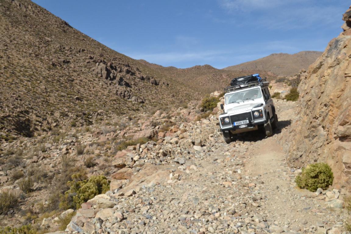
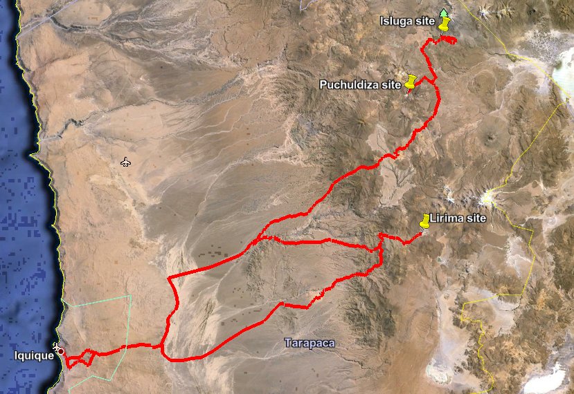
Recognizing that the Land Rover, the instruments, and the team members themselves needed time to acclimatize to high elevation, and get used to navigating Andean 4x4 tracks, we embarked on the Hydrothermal Loop. This was a 680 km, four-day, warm up run from sea level at Iquique, to two hydrothermal systems and a volcano at ~4000 m near the Bolivian border.

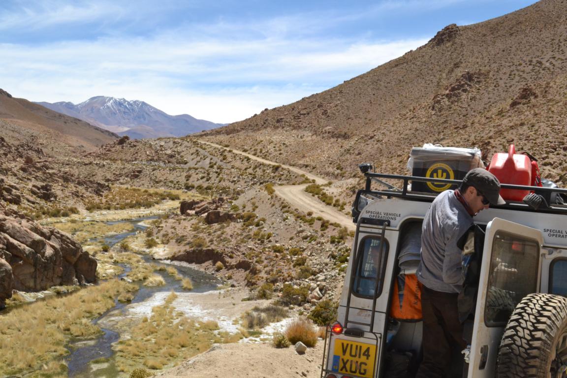
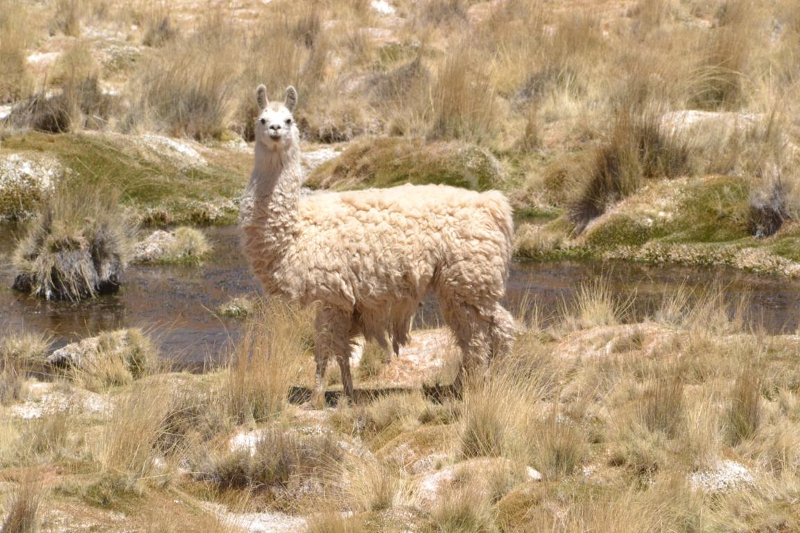
The route took us through breathtaking scenery on rugged mountain roads. We were greeted by llamas and flamingos, diverse vegetation (complete with cactus flowers), and rapidly changing geology. When services got scarce we met with some lovely locals in the villages of Parca and Moque, who were quick to offer refreshments and directions.
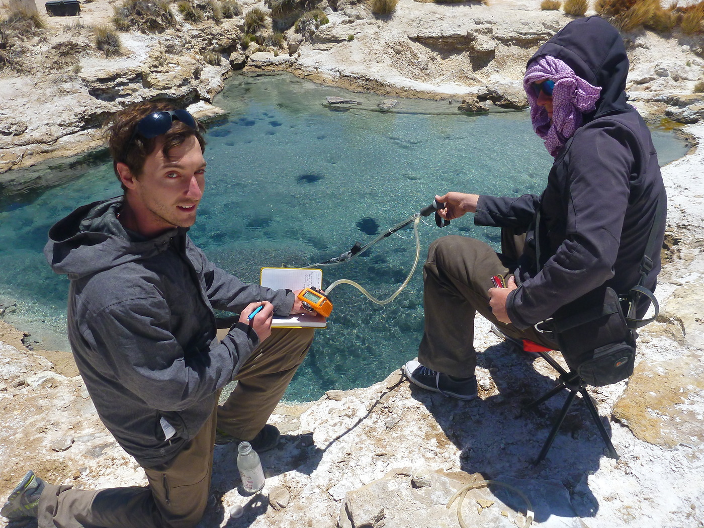
Our first scientific target was the hydrothermal system of Pampa Lirima, at ~4000 m elevation. We found springs up to ~60 degrees Celcius, emitting primary CO2-rich gas that was suitable for study. We deployed our full suite of direct sampling tools for later analysis back at the lab and with the Delta Ray.
We went on to successfully take measurements and samples in subsequent valleys, and were greeted at every turn by new and fantastic sights – including the continuously active geyser at Puchuldiza.
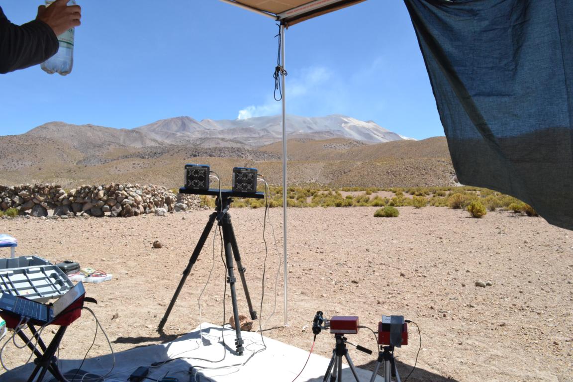
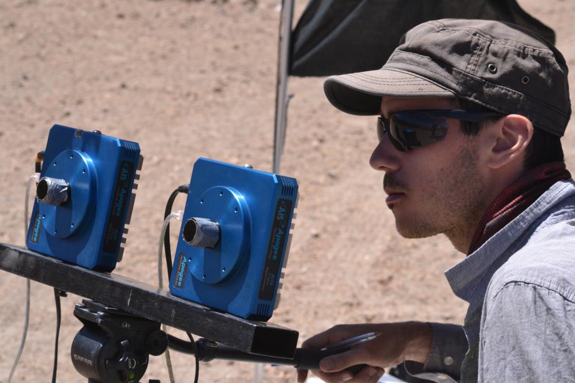
The Hydrothermal Loop culminated with the first deployment of our remote sensing instruments (UV camera and DOAS) at Volcán Isluga, a 5550 metre-high active volcano.
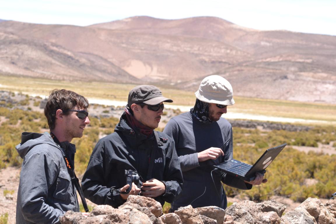
The team is now headed back to Iquique, to make some modifications to the equipment, and process the initial data. The Hydrothermal Loop was an important beta-test of equipment and systems, and we’re ready to get going on the next section of the adventure.