
From the summits of Nevados de Chillán and Villarica we could see Copahue on the horizon, enticing us with its dark ash rich plume. This three-kilometre-high stratovolcano sits on the Chilean – Argentinean border and is capped by a line of craters with a busy record of activity dating back to ~6820 BCE. The easternmost crater has been the focus of four eruptions this century alone, and is currently the source of an ongoing eruption that started in October 2015. Between eruptions this crater has hosted an acid lake with a pH below 0.3, and material blasted out in 2012 suggests a submerged lake of liquid sulphur may lie beneath the water. In fact, Copahue means sulphurous waters in the Mapuche language. Access is easy from the Argentinian side with metalled roads and ski resorts right up to the eastern flank. However, we were not keen on explaining to customs what a Delta Ray is again, and on the Trail by Fire, we don't like to make life too easy for ourselves. So we took the longer, harder route from the Chilean side. We would not get anywhere near the summit, but given the acid lake was probably gone, and our grandmothers were not there to rescue us if it wasn't, this was no great loss.
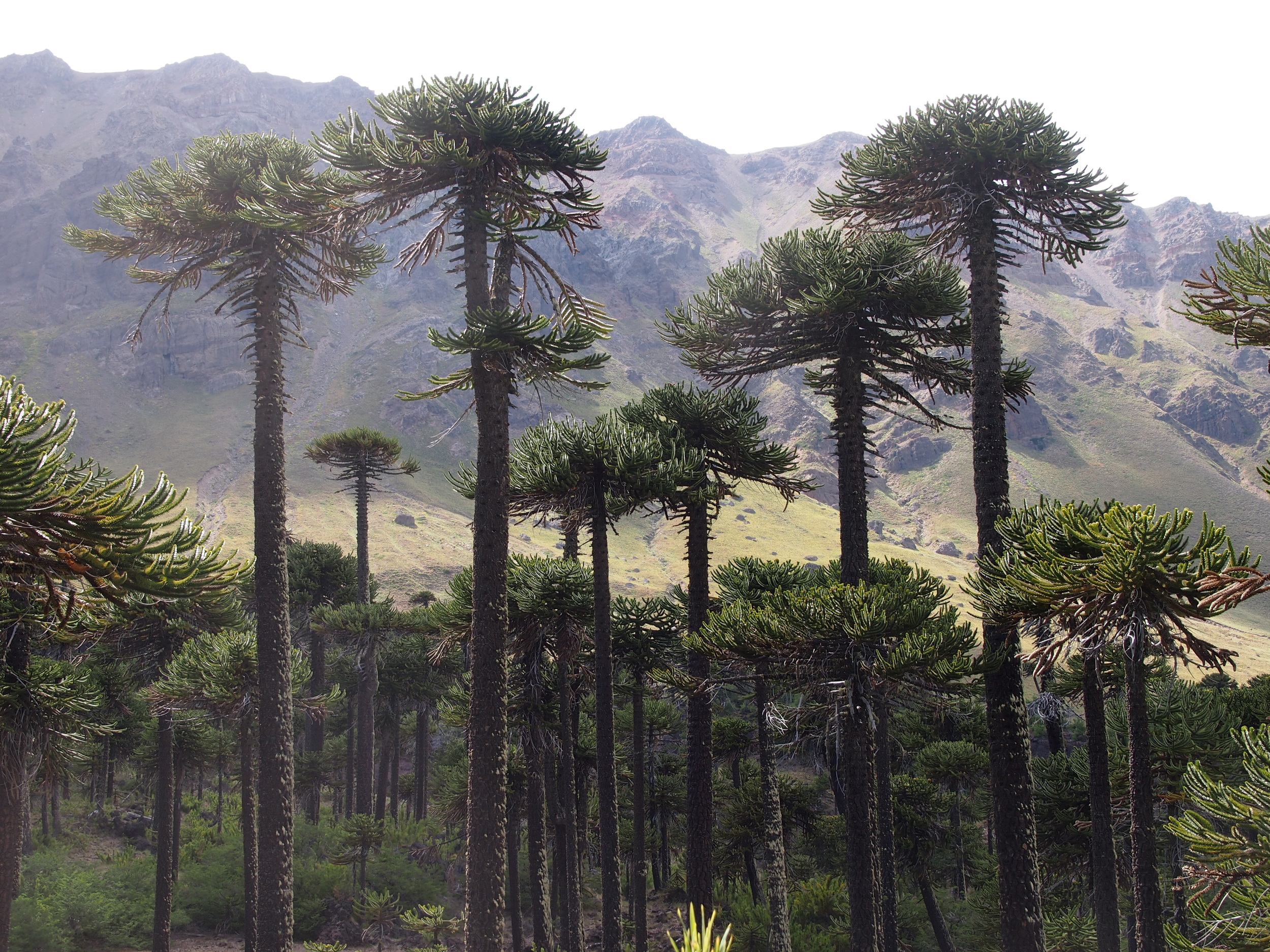
The approach from the Chilean side put our vehicle through its paces after a long time on asphalt. The gravel road winds through forests and is cut high in the vertiginous mountainside above deep reservoirs, ringed by pale scars where the water level rises and falls. It's a long drive too, and fortunately for us a friendly farmer let us camp on his land to break the trip. We put up the tent, broke out the sausage and mash, and ate under the stars for the first time since Lastarria. The next day as we climbed higher towards the volcano the track narrowed and became boulder strewn and criss-crossed by glacial streams. All of a sudden we were back to our Eastnor training - probing water with sticks to estimate the depth and guiding our differential hump around obstacles. The forests turned into groves of Araucaria araucana (also known as Monkey Puzzle), tall Jurassic Park-esque trees noted for their love of volcanic soil. We were getting close. Finally we reached a torrential glacial stream that gave us pause. We could cross it, but with bad weather moving in, would we be able to cross back? We were agonisingly close, and could see the plume drifting above the final ridge between us and the volcano flank.
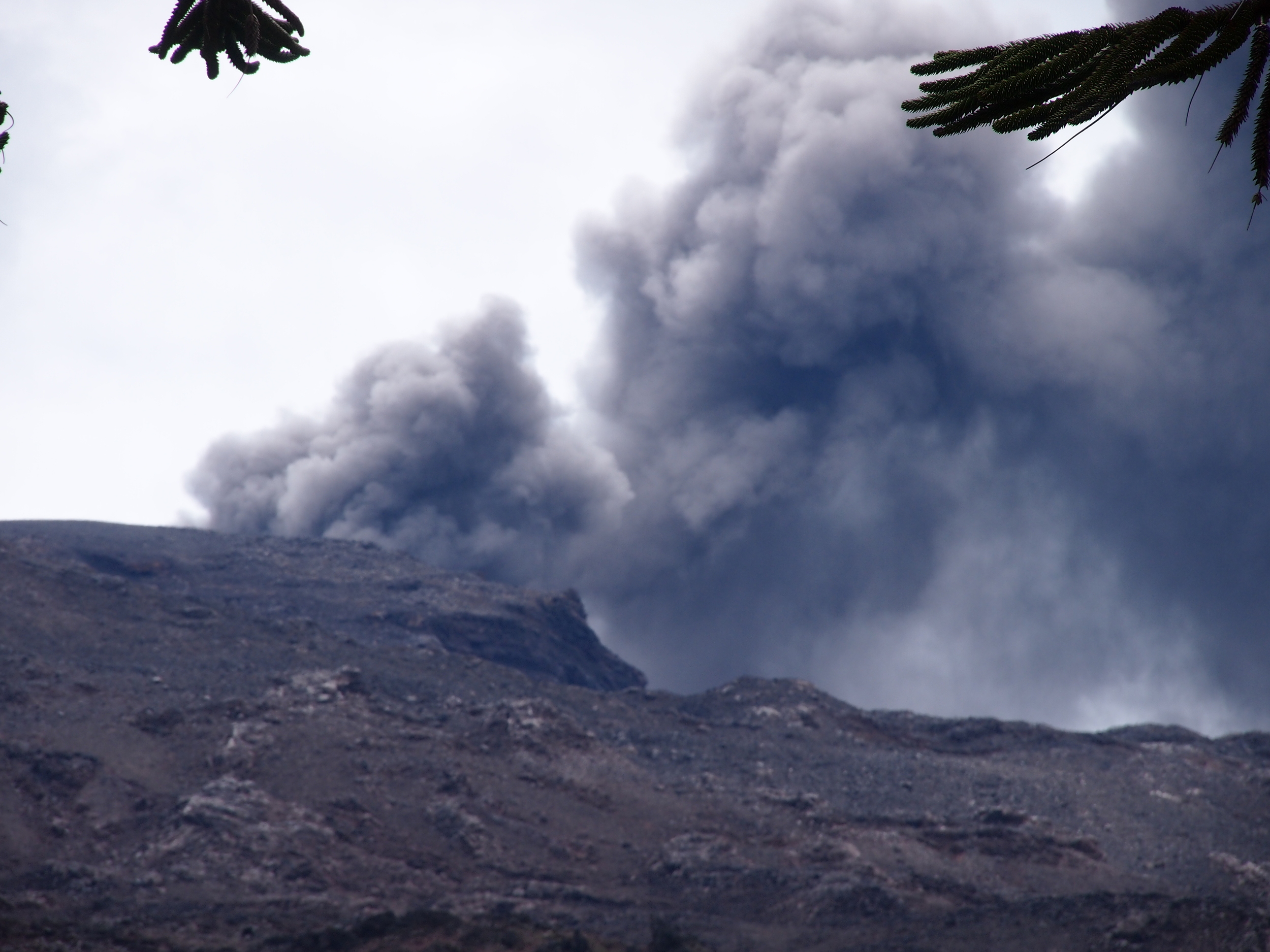
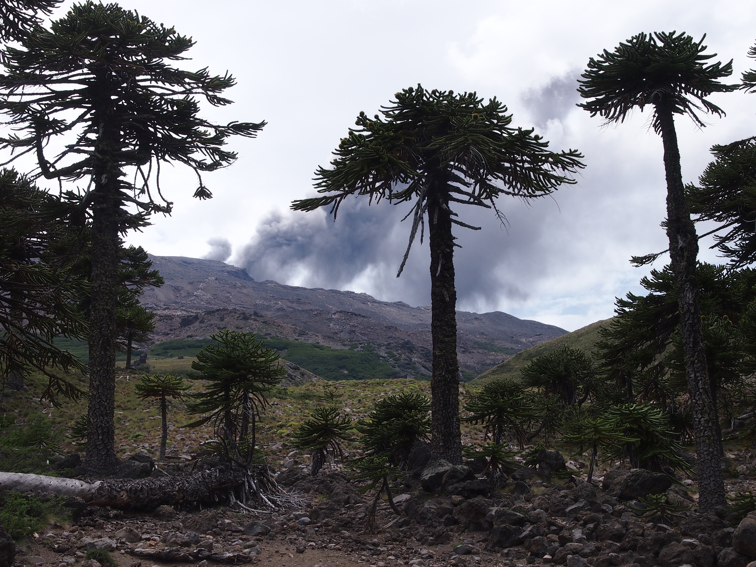
Eventually common sense prevailed and we called a halt. Yves and Philipson put the coffee on, and Aaron took off for a quick flight to check out the area. We sat and glumly watched the plume being emitted in the distance with an eerie silence, disapointed this was as close as we could get.
So was this the first defeat for Trail by Fire? Well, not quite. In collaboration with our friends at JPL and NASA we've tracked our progress along the Andes using two satellites, Earth Observing 1 (EO-1) and Terra. In particular, we've been interested in two sensors; Hyperion to monitor the thermal power output of the volcanoes to tell us how much new hot material is being erupted, and ASTER to measure the amount of sulfur dioxide in the volcanic plumes. The challenge here has been logistical as well as scientific – we had to somehow get the Landrover and the satellites in the same place at the same time within the confines of orbital parameters, permitted satellite manoeuvres and the sequence of volcanoes we were visiting, all the while knowing that a spot of cloud in the wrong place would render the image useless. One day a mathematician will win a Fields medal for solving the travelling volcanologist problem, but in the mean time we did a pretty good job. By providing a rolling best guess of our itinerary to our colleagues a week in advance, we were able to time satellite acquisitions as close as possible with field visits. And using the images these satellites produced, we can peak over that final ridge and have a look. By day, in the Hyperion images below, we can see the plume drifitng south in the visible image on the left, and in the short wave infrared on the right perhaps the hint of a dull red glow at the vent, partially obscured by the plume:

But by night we can get a better sense of what's hot and what's not. In the short wave infrared, the ground surface is too cool to emit much radiation, and at night there is no reflected solar radiation either. This means that all the satellite 'sees' is thermal emission from (very) hot material, less that absorbed by the atmosphere. Here Hyperion comes into its own, taking an image at 220 wavelengths from the visible through the short wave.

Instead of just recording color, each pixel in the image records a spectrum, like the one shown above.
This gives us the emission spectrum for the hot material, which is a function of the distribution of temperatures at the surface. We can use these spectra to get a sense of how hot the erupting material is, without having to get within quadcopter range, or clamber up and peer in ourselves, and there's no risk of falling in any acid lakes.
Addendum: But what about the gas? Well, we can see that from space as well. We’ve talked before about how we use the absorption of ultra violet light by volcanic plumes to measure their sulphur dioxide content – the passage of UV light through the plume leaves a characteristic fingerprint in the spectrum. It turns out SO2 leaves a fingerprint in the thermal infrared as well, and ASTER takes pictures at the right wavelengths to see it. Using sophisticated models, we can simulate the complex processes of emission, absorption, reflection and scattering of thermal radiation in the column of air between the ground and the satellite to convert this fingerprint into an amount of SO2. Below is an example ASTER image from the 23rd of January – like the Hyperion images above, it was taken from ~700 km altitude, looking down. This is a false colour image in the visible and near infrared, so vegetation appears red, open water appears black, the bare rock of the mountains appears grey, and the condensed water (or cloud) in the plume appears white. But is there any SO2 in there?

Using the thermal infrared, we can calculate an image showing where the SO2 fingerprint is present. The resulting image is a little noisy, but you can clearly make out the absorption feature in the plume.

So there you have it, temperature and gas from satellites – not bad from 700 km away.